|
| *****SWAAG_ID***** | 270 |
| Date Entered | 10/08/2011 |
| Updated on | 10/08/2011 |
| Recorded by | Tim Laurie |
| Category | Ring Cairns |
| Record Type | Archaeology |
| Site Access | Public Access Land |
| Record Date | 08/08/2011 |
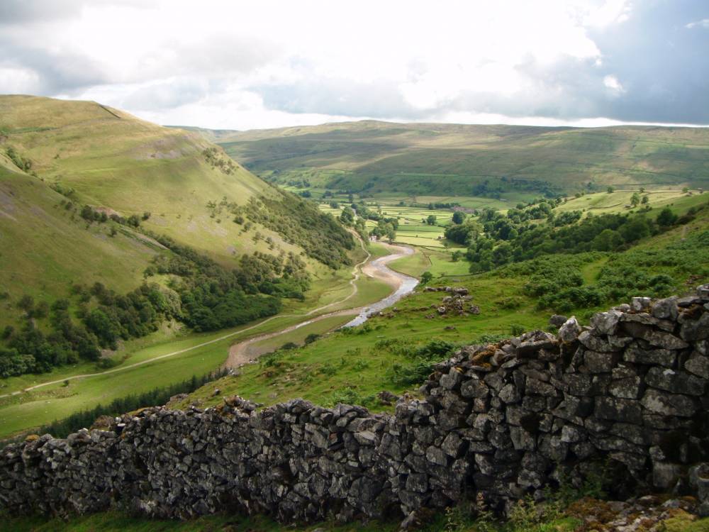
| Location | Kisdon. North Gang Scar. Edge of terrace |
| Civil Parish | Muker |
| Brit. National Grid | Hidden |
| Altitude | 411m |
| Geology | Terrace formed by the Main Limestone. |
| Record Name | Ring cairn at North Gang Scar, Kisdon. |
| Record Description | Small ringwork defined by a relatively substantial limestone ring bank faced on both sides with occasional orthostats (ie,limestone slabs set on edge, now usually leaning) with small stone infill between the faces.
This ringwork is best defined as a ring cairn. Ring cairns (or enclosed cremation cemetaries) are funerary monuments which date to the early to mid bronze
age.
The absence of an entrance and the location of this ringwork at the very edge of the terrace mitigates against this being a very small hut circle. |
| Dimensions | 5.2m diameter overall, 4.5m diameter internally. |
| Additional Notes | Ring cairns are the more frequent of the many small burial/cremation monuments of Bronze Age date within the NE Pennine Dales and they meet the same or similar purpose as stone cairns or barrow mounds except that they are associated with cremation burials,ie the remains of cremations- ashes, contained within colared urns, rather than inhumation.
|
| Image 1 ID | 952 Click image to enlarge |
| Image 1 Description | Kisdon, North Gang Scar. Ring cairn at edge of terrace. | 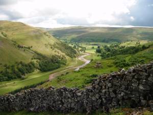 |
| Image 2 ID | 953 Click image to enlarge |
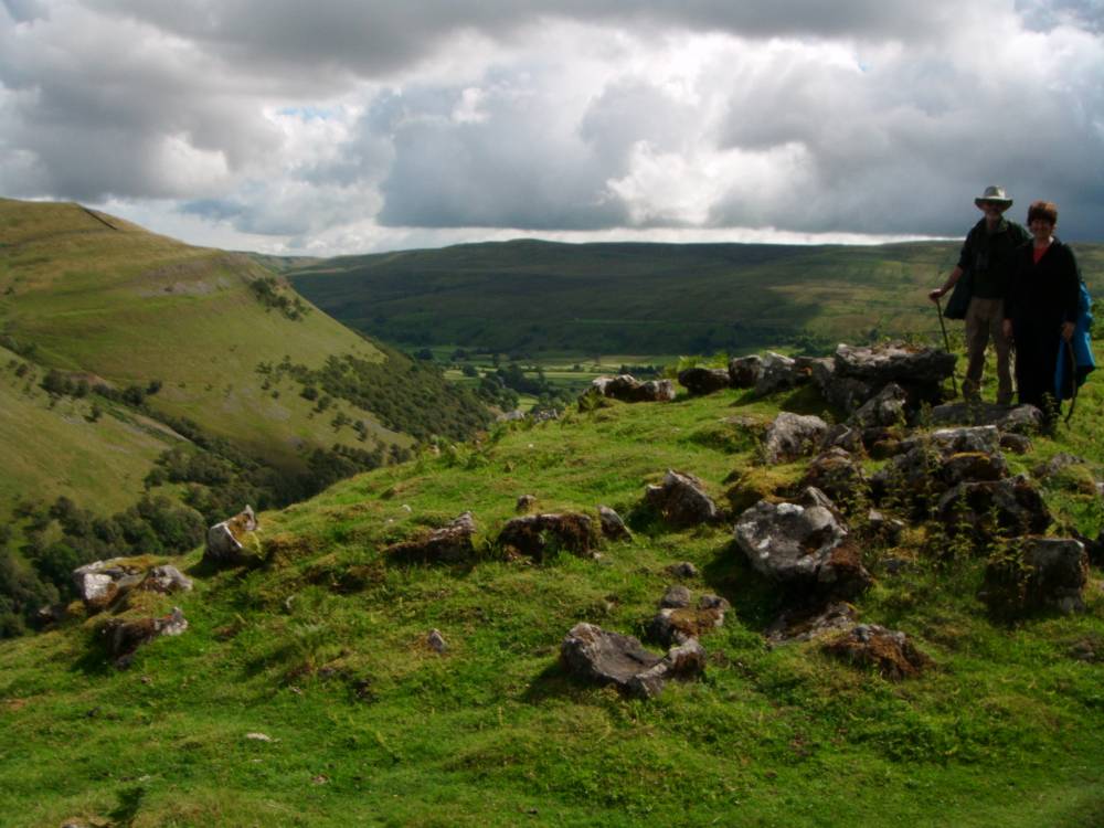
| Image 2 Description | Kisdon, North Gang Scar. Ring cairn at edge of terrace. |  |